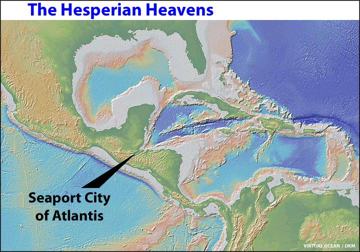
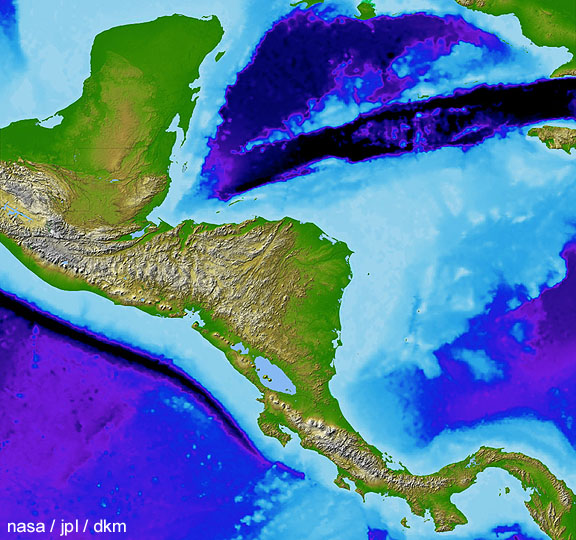

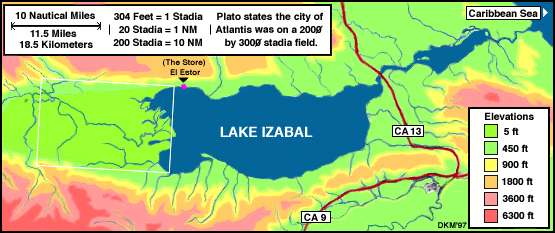
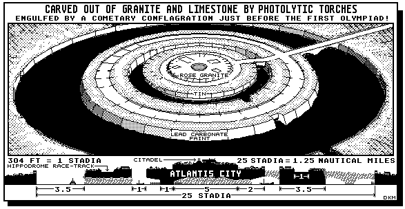
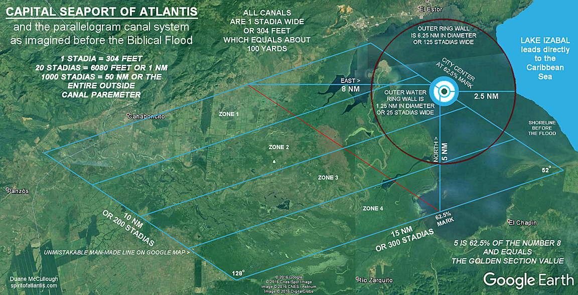


This map reveals data that suggest the capital seaport of Atlantis could have once existed in Central America near the western edge of Lake Izabal. Perhaps the only treasure
still awaiting discovery in this unique biosphere are the remarkable plants and animals that live here. Any search for this lost seaport should respect the natural environment and not destroy the balance of these life forms.
There are several remarkable concepts that can be found in the last map image.
The first concept is that the "contrast line" between the left and right side of the lower left fosse canal line, "proves" the Atlantean canal system once existed in the area.
The second concept found in the map is that most of the first of the four long area zones between the canals, which run from west to east, is "topographically" different than the other three -- in fact, the last and fourth area zone is topographically different than the third area zone above. The differences between these area zones suggest that the area zones were once separated by canals before the whole place was "broken" by the great Biblical earthquake and flood event long ago.
A third concept that should be noticed is that the west canal from the seaport outer harbor wall measures exactly 8 Nautical Miles long while the south canal from the inner harbor wall measures exactly 5 Nautical Miles long. The numerical ratio value of the number 5 to 8 equals 62.5% -- which also equals exactly the ratio length of the upper and lower fosse lines where these canals meet. Moreover, the 62.5% numerical ratio value is also known as the "Golden Ratio" or the "Golden Mean" in mathematics -- and the placement of the seaport center is also at the 62.5% mark on the eastern fosse line.
A fourth concept is that the total diameter width value of the round area wall surrounding the seaport equals exactly 6.25 Nautical Miles -- which is a similar number value to the ratio number value of the numbers 5 to 8. These numbers are not coincidental -- they prove the whole place was designed by some great mathematical mind from Atlantis.
A fifth concept is that the map shows the water path from the surrounding mountains was designed to "flush" into the seaport harbors in a clock-wise fashion so as to keep the city clean before leaving eastward to the path toward the sea.
And a sixth concept is that the name of the city of El Estor -- just above the seaport center area, is based on the idea meaning "the store". The "store" is where British loggers and others from along the east coast of Central America would go to for shopping events. This concept suggest that the place was once a central hub for supplies to many maritime visitors -- which was the same concept that was once the capital seaport of Atlantis.